Interactive Historical Cartography
Four Centuries of Shoreline Evolution, Coastal Surveys, and the Lost Spanish Bight
Experience the physical transformation of the Crown City across four centuries. Toggle between modern satellite topography and the historic pre-1944 coastline to witness where tidal waters once flowed through the lost Spanish Bight channel.
Geographic Landmark Explorer & Coastline Overlay
GPS Coordinates & SurveysCoronado Cartographic Overlay
Hotel del Coronado (1888)
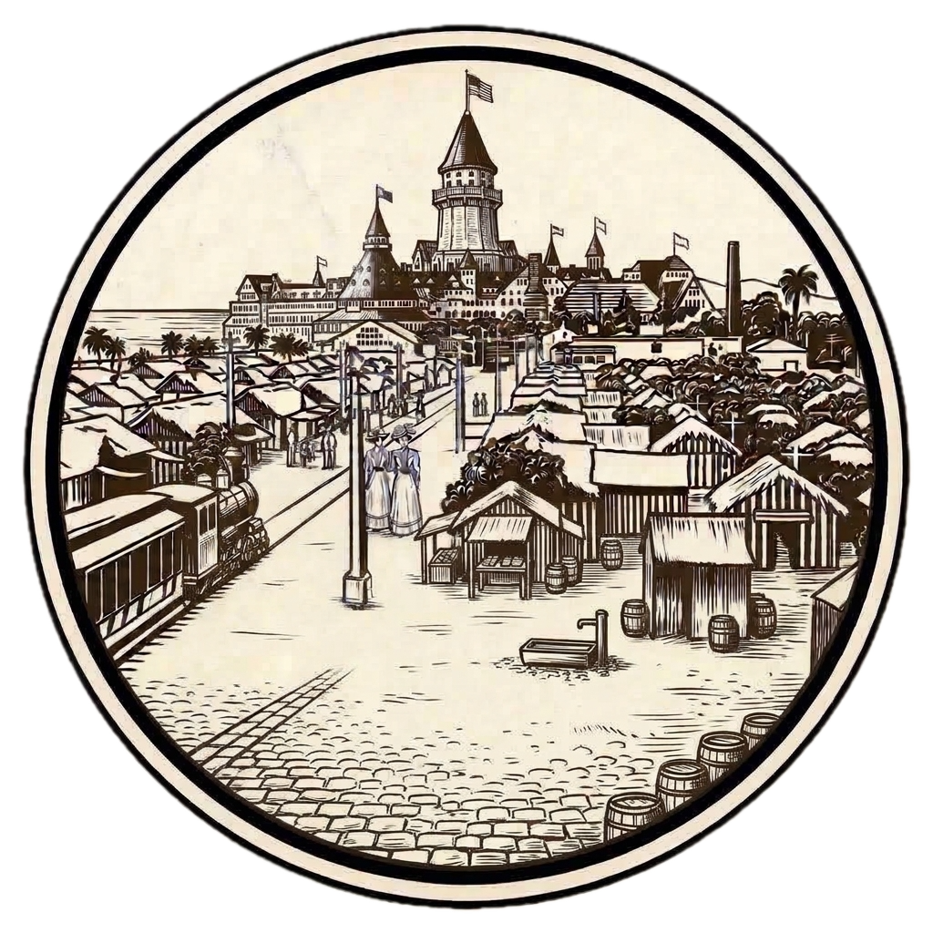
Opened in February 1888, Hotel del Coronado is the crown jewel of American Victorian seaside architecture. Visited by 16 U.S. presidents, illuminated by Thomas Edison's personal incandescent dynamos, and the creative sanctuary where L. Frank Baum crafted Oz sequels and designed the Crown Room chandeliers.
The Four Historic Quadrants of Coronado
From indigenous foraging camps and Spanish ranchos to aviation airfields and Victorian grand hotels, each geographic zone developed its own distinct architectural and cultural identity.
North Island & Spanish Bight
Once a remote sandspit separated from Coronado by tidal waters, North Island became the cradle of global naval aviation in 1911 under Glenn Curtiss. In 1944, wartime military logistics permanently infilled Spanish Bight to create massive bomber runways.
Orange Avenue & Village Center
Surveyed in 1886 with broad, tree-lined boulevards and radial parks like Star Park Circle. Home to the 1905 Coronado Public Library, historic commercial storefronts, and the landmark cottages where L. Frank Baum wintered.
Glorietta Bay & Nautical Harbor
The tranquil, sheltered waters of Glorietta Bay house the 1887 Victorian Boathouse, the historic Coronado Yacht Club (1932), the championship Municipal Golf Course (1957), and John D. Spreckels’ palatial 1908 Italian Renaissance estate.
Pacific Oceanfront & Silver Strand
Anchored by the Queen Anne Victorian majesty of Hotel del Coronado (1888) and the shimmering golden mica sands of Central Beach, voted #1 in the United States. To the south, the Silver Strand connects the peninsula to ancient Kumeyaay trails.
Share Chronicle & Academic Citation
Distribute verified Coronado historical records or cite this resource in academic, educational, and journalistic works.