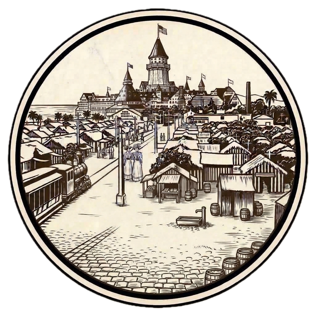
Spanish Discovery & The Mexican Rancho Era
From Cabrillo and Vizcaíno naming the islands to Don Pedro Carrillo receiving the 1846 Rancho land grant.
Listen to the historical narrative via browser voice narration
Key Archival Photograph of the Era
Historic Archive Record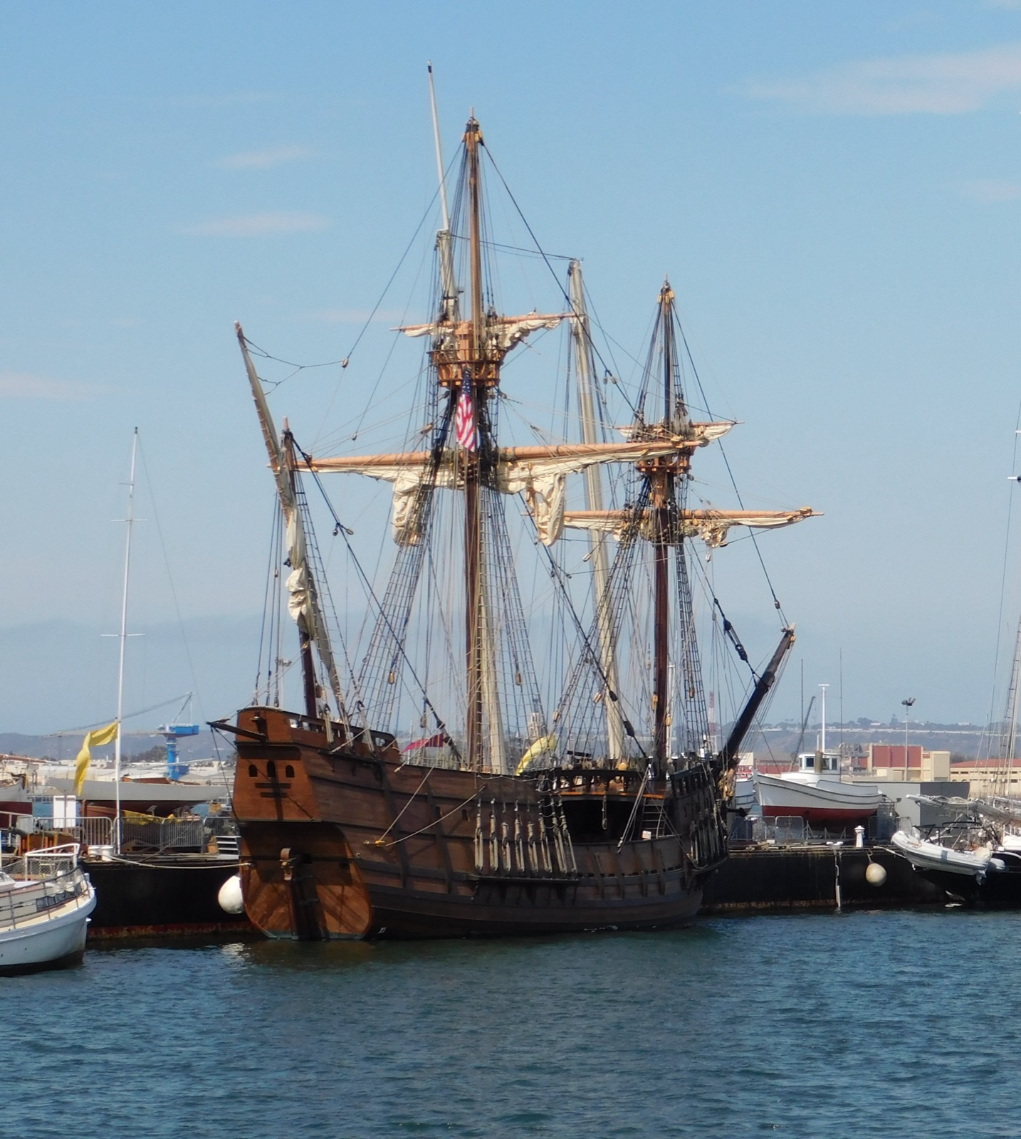
Full-scale authentic replica of Juan Rodriguez Cabrillo’s flagship San Salvador sailing in the coastal waters off Point Loma and Coronado.
Documented Historical Synthesis
Step #2 Archival ChronicleEuropean contact began on September 28, 1542, when Portuguese navigator Juan Rodríguez Cabrillo dropped anchor inside Point Loma aboard the San Salvador, providing the first written notation of the low eastern sandspit. Sixty years later, in November 1602, General Sebastián Vizcaíno conducted the first systematic hydrographic survey of the harbor, officially naming Los Coronados after the Four Crowned Martyrs and christening San Diego Bay.
Under Spanish and Mexican governance, the peninsula remained wild and uncultivated, referred to simply as the Peninsula de San Diego. On May 15, 1846, in the final weeks of Mexican authority before the outbreak of the Mexican-American War, Governor Pío Pico granted the 4,185-acre peninsula to Don Pedro Carrillo as a wedding gift upon his marriage to Josefa Bandini.
Carrillo held the isolated land grant for just seven months before selling the entire property to American merchant captain Bezer Simmons for $1,000 in silver. Simmons’ untimely death in 1850 sparked decades of probate litigation, preserving the peninsula in its pristine, undeveloped state throughout the California Gold Rush era.
Photographic Suite (4 Archival Photographs)
Record #1 The Flagship San Salvador Sailing in San Diego Bay Waters
Full-scale authentic replica of Juan Rodriguez Cabrillo’s flagship San Salvador sailing in the coastal waters off Point Loma and Coronado.
 Record #2
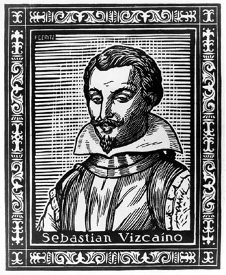
Portrait of General Sebastian Vizcaino (1548-1623)
17th-century Spanish facsimile portrait of General Sebastian Vizcaino, Spanish naval explorer who mapped San Diego Bay and named Los Coronados in 1602.
 Record #3
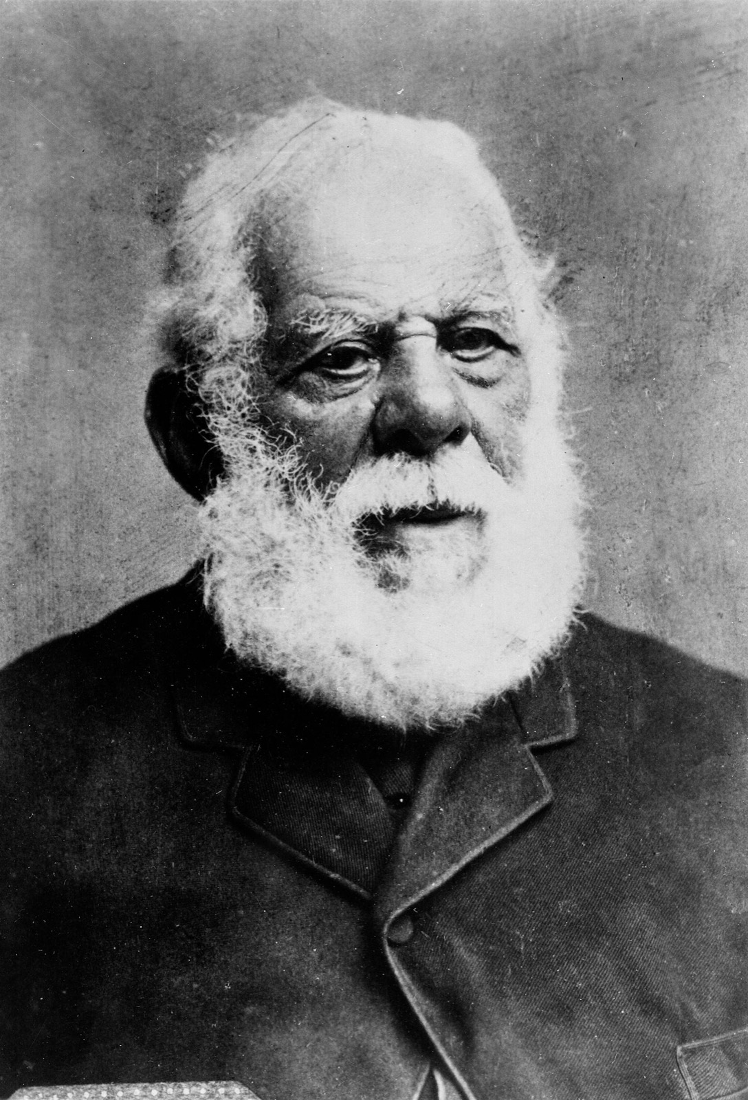
Governor Pio Pico, Last Mexican Governor of Alta California
Historic portrait of Governor Pio Pico, who granted the entire 4,185-acre Coronado peninsula to Don Pedro Carrillo on May 15, 1846 as a wedding gift.
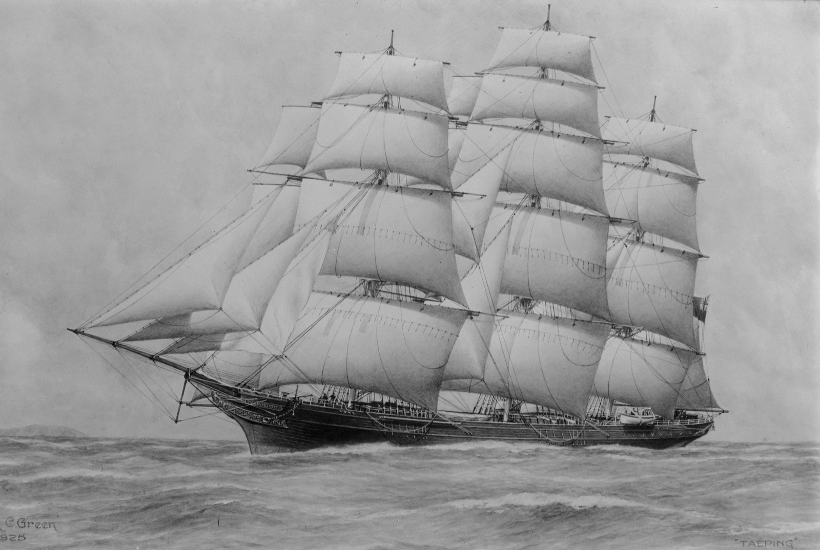 Record #4
19th-Century American Merchant Sailing Ship Under Full Canvas
Historical clipper ship under full sail, representing the maritime merchant trade of Captain Bezer Simmons, who bought Coronado for $1,000 in silver.
Chronological Milestones of this Era
4 Recorded Events 1542 Juan Rodríguez Cabrillo Sights the Peninsula
Portuguese navigator sailing under the Spanish crown sails into San Diego Bay, sighting the sandspit.
1602 Sebastián Vizcaíno Maps Bay & Names Coronado
Spanish naval explorer Sebastián Vizcaíno charts San Diego Bay, surveys the Coronado sandspit, and names Los Coronados in honor of the Four Crowned Martyrs.
1846 Don Pedro Carrillo Receives Mexican Rancho Land Grant
Governor Pío Pico grants the Coronado peninsula to Don Pedro Carrillo as a wedding gift.
1846 Captain Bezer Simmons Purchases Coronado for $1,000
American sea captain Bezer Simmons buys the entire 4,185-acre peninsula from Pedro Carrillo for $1,000.
Prominent Figures of This Era
Primary Archival Sources for 1542-1868
- Coronado Historical Association Archival Collection and Photographic Registry
- National Register of Historic Places Documentation and Architectural Surveys
- Library of Congress Prints and Photographs Division (Detroit Publishing and HABS)
- San Diego History Center Cartographic and Municipal Archives
Share Chronicle & Academic Citation
Distribute verified Coronado historical records or cite this resource in academic, educational, and journalistic works.